
JAKARTA — Indonesia is battling intensifying forest and peatland fires as the 2026 dry season peaks, with a powerful El Niño deepening drought conditions across the country's most fire-prone regions. Six provinces are designated priority zones: West, Central and South Kalimantan on Borneo, and Riau, Jambi and South Sumatra on Sumatra.
Scale of the Fires
Forestry Ministry ground-verified data show 202,010 hectares burned nationwide from January through July, up sharply from 107,465 hectares recorded through June, with nearly 95,000 hectares burned in July alone. A separate, real-time indicative tracker maintained by the disaster agency BNPB, covering only the six priority provinces, put burned area at roughly 75,000 hectares in late August, a different methodology and period from the ministry's nationwide figure.
Indonesia's Sipongi monitoring system recorded 3,736 hotspots in August as of August 21, compared with 758 in July, before daily counts eased in following days. Separately, the ASEAN Specialised Meteorological Centre recorded more than 15,000 hotspots across Kalimantan and Sumatra between January and August 27, the third-highest Kalimantan total in a decade. Hotspots indicate heat anomalies detected by satellite and are not the same as confirmed fires on the ground.
Government Response and Deployment
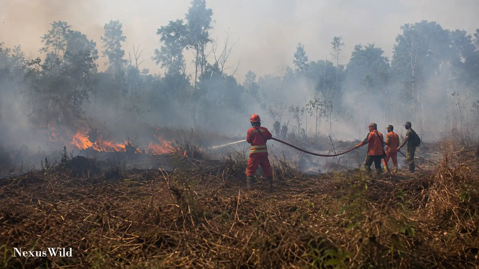
Indonesia has deployed thousands of firefighters, police and military personnel, including nearly 13,000 assigned to ground operations across Kalimantan's three priority provinces alone, alongside helicopters conducting water-bombing and cloud-seeding missions.
President Prabowo Subianto has visited fire zones in Central Kalimantan, Riau and South Sumatra to press for faster containment. Peatland fires are especially difficult to extinguish because they can smolder underground for weeks, re-igniting after surface flames appear out, particularly in dry, hard-to-reach terrain.
Health Impacts and Transboundary Haze
Smoke has forced school closures in Pontianak, West Kalimantan, and disrupted classes elsewhere, while Riau's provincial government has recorded more than 260,000 respiratory illness cases since January. Indonesia's Health Ministry says more than 3.4 million people across Kalimantan, Sumatra and Papua have been affected by haze.
Smoke has drifted into Malaysia, with Sarawak worst hit and several districts recording unhealthy air quality, and forecasts show pollutants reaching toward Singapore and Brunei. Indonesia granted Malaysia clearance in late August to conduct cloud-seeding in shared border airspace, while a separate Malaysian offer to run water-bombing missions remained under consideration.
Weather Conditions and Human Causes
BMKG describes the current El Niño as very strong, with a roughly 75% chance of reaching an extremely strong category between August and October, and expects it to persist into early 2027. A positive Indian Ocean Dipole is also active, further suppressing rainfall. Forestry Minister Raja Juli Antoni said the El Niño index had surpassed 2015 levels by mid-August, though burned area remains below the roughly 600,000 hectares recorded by the same point that year. El Niño does not ignite fires directly; it deepens drought that makes vegetation and peat more flammable and fires harder to control.
Human activity remains central to ignition. Police have arrested 72 people suspected of starting fires and are investigating four companies over alleged illegal land-clearing burns, with 89 criminal cases logged nationwide between January and August 21. Fires threaten forests, peatlands and wildlife; an orangutan named Sampurna was rescued in West Kalimantan after suffering hypoxia from thick smoke, according to rescue foundation YIARI.
Further reading and useful links
Reader questions
Frequently asked questions
What is causing the severe wildfires in Indonesia in 2026?
While human activity, such as illegal land-clearing, is the primary source of ignition, a very strong El Niño and a positive Indian Ocean Dipole are creating severe drought conditions, making vegetation and peat highly flammable.
Which areas are most affected by the fires and haze?
Six provinces are designated priority zones: West, Central, and South Kalimantan on Borneo, and Riau, Jambi, and South Sumatra. Smoke has also drifted into Malaysia, particularly Sarawak, and is threatening Singapore and Brunei.
Why are peatland fires so difficult to put out?
Peatland fires can smolder underground for weeks, even after surface flames are extinguished, allowing them to re-ignite. The terrain is also often dry and hard to reach.
Nexuswild welcomes factual corrections. Email contact@nexuswild.com with evidence and the article URL.