
Archaeologists have reconstructed a lakeside settlement in what is now the Arabian Desert, showing that the region held freshwater, grassland, large animals and early human activity about 125,000 years ago. The site, known as Uruq al-Julaybah, lies in the Mundafan region of the Empty Quarter. The new study combines fossils, stone tools, plant residues and dating work into a detailed picture of a landscape very different from the dry desert found there today.
The research was published in Science and announced by the Saudi Heritage Commission, King Abdullah University of Science and Technology and Griffith University. Frans van Buchem of KAUST and Chris Clarkson of Griffith University were co-lead scientists. The findings add to research on the Green Arabia period, when parts of the Arabian Peninsula were wetter and could support humans and animals.
The evidence includes more than 500 plant and animal fossil specimens spread across more than 130 locations, as well as 5,511 stone tools larger than two centimeters from the main excavation area. Most of the tools were made from flint and were shaped using Levallois techniques. Chemical and microscopic study found residues from plants, wood and resin. Some pointed tools also showed impact damage and traces that the researchers interpret, cautiously, as possible poison residues.
A lake where a desert now stands
The starting point for the study was an ancient lake in the Mundafan region. Using satellite-based terrain modeling, the researchers reconstructed a lake that covered approximately 340 square kilometers and reached depths of up to 29 meters. Sediments, the surrounding landscape and the remains of aquatic organisms all pointed to a relatively stable freshwater environment.
That environmental reconstruction is central to the archaeological interpretation. A large lake would have supported plants, animals and humans in a region that is now dry. The source material describes open grasslands and vegetation around the lake. This was not a narrow waterhole in an otherwise barren setting. It was a substantial freshwater system with a broad shoreline.
The site's age places it in a period known as marine isotope stage 5e, around 125,000 years ago. The Science paper title describes a 125,000-year-old Arabian paleolakeshore. The ScienceDaily account places the occupation in the Green Arabia period, a term used for intervals when the peninsula was wetter than it is now.
The research is not about a single object found in isolation. It combines a reconstructed lake basin, fossil distribution, tool concentrations and residue evidence. That combination allows the team to discuss environment and behavior together, while keeping the uncertainties visible.
The find also belongs to a wider archaeological record in Arabia. Earlier coverage of Green Arabia and of human occupation sites in Saudi Arabia provides background, but the Uruq al-Julaybah study stands on its own because of the density and variety of material found in one dated context.
Reconstructing a vanished environment
To understand the lake, the team used satellite-based terrain modeling alongside evidence from sediments and fossils. The modeling allowed them to estimate the lake's extent and depth. The ScienceDaily report gives an area of about 340 square kilometers and a maximum depth of 29 meters. Those numbers describe the reconstructed ancient lake, not a body of water present today.
Sediments help establish how long water persisted and what kind of environment it supported. The presence of aquatic organisms is consistent with a freshwater system rather than a brief flood. The surrounding landscape appears to have included open grassland and vegetation, which would have provided food and raw materials for both animals and people.
The fossil specimens were spread across more than 130 locations. That distribution suggests that the shoreline was not a single small camp. People and animals used a broad area around the lake. The researchers documented material through systematic surveys rather than relying on isolated finds.
Grid surveys were used to record and collect artifacts and fossils. A grid system helps archaeologists understand where objects were found in relation to one another. That spatial control matters when studying activity areas, tool production and carcass processing. It also allows refitting studies, in which broken pieces are matched back together.
The environmental work and the artifact work were therefore linked. The team was not only asking what animals lived near the lake, but how people used the shoreline and what they did with the resources available there.
Animals of the ancient shoreline
The fossil assemblage includes a striking range of animals. The source material lists hippos, extinct long-horned buffaloes, camels, Arabian oryx, gazelles and ostriches. These animals indicate a mix of freshwater and grassland conditions. Hippos in particular require water and vegetation, making them strong evidence for the environmental reconstruction.
The Science abstract also mentions megafaunal remains including hippopotamus, buffalo, gazelle, ostrich and camel. It says the assemblage illuminates hominin use of freshwater and grassland ecosystems. In other words, the animals are not just background scenery. They help show what resources were available and what kinds of environments early humans were using.
More than 500 plant and animal fossil specimens were identified across more than 130 locations. The word more than matters: the source gives a lower bound, not an exact total. The fossils included invertebrates as well as larger animals, and their spread suggests repeated activity around the lake.
The presence of extinct long-horned buffaloes and other large mammals gives the site a distinctive ecological character. This was not a landscape with only small, dry-adapted species. It supported large animals that would have needed substantial water and plant growth.
The study does not claim that every animal was hunted by the people at the site. It reports associations between tools, remains and evidence of processing. The careful wording is important because archaeological sites can be shaped by natural processes as well as human activity. The team's methods were designed to test those relationships.
More than 500 fossils across a wide area
The scale of the fossil record is one of the study's strongest features. More than 500 plant and animal fossil specimens were found across more than 130 locations. That geographic spread suggests that the shoreline was used over a broad area rather than at one concentrated spot.
The distribution also helps researchers compare different parts of the site. Fossils in one area may be associated with tool production, while others may reflect animal processing or plant use. A grid survey makes those comparisons possible because each find can be mapped.
The source material does not give a species-by-species count. It lists the animals identified and describes the total number of specimens. This article therefore avoids assigning exact numbers to hippos, buffaloes or any other animal. The supported claim is that the assemblage includes those animals within a much larger set of fossil remains.
The plant fossils are equally important. They help reconstruct the vegetation around the lake and provide context for residues found on tools. The study's discussion of palms, tubers, trees and shrubs shows that people were not only interacting with animals. They were using a range of plant resources.
Taken together, the fossils point to a rich ecosystem. The ScienceDaily account describes a prehistoric environment with little resemblance to the dry landscape of today. That contrast is one of the reasons the site is scientifically valuable.
Thousands of tools from the main excavation area
The stone tool assemblage is another major part of the finding. Archaeologists recovered 5,511 stone tools larger than two centimeters from the main excavation area. More than 98 percent were made from flint. The tools were analyzed for their shape, production method, use-wear and residues.
The size cutoff matters. Tools smaller than two centimeters were not included in that reported count. The figure therefore describes a specific category of artifacts, not every stone fragment at the site. The source is explicit about this threshold.
Flint was the dominant raw material. Its prevalence suggests that the people working at the site had access to suitable stone sources and preferred or repeatedly used this material. The tools were not simply broken rocks. Analysis showed that their makers used Levallois techniques.
Levallois technology involves preparing a stone core so that flakes of a desired shape can be removed. It is a deliberate method of stone production, associated with Middle Paleolithic assemblages. The ScienceDaily account describes it as a way of shaping stone to produce carefully prepared flakes.
The site also produced evidence for in situ tool production. The Science abstract mentions Levallois assemblages and refits indicating that tools were made and used at the location. Three-dimensional refitting helped researchers match fragments and reconstruct ancient actions.
This is what makes the assemblage more than a collection of objects. Refitting, use-wear and spatial data allow the team to discuss how tools were produced, used and discarded around the lake.
How the tools were made
The researchers used several methods to understand tool production. They conducted systematic surveys with a grid system, applied two dating methods to sand and fossil teeth, used three-dimensional techniques to determine how stone fragments fit together, and examined tool surfaces with microscopic and chemical analyses.
Three-dimensional refitting is especially useful for studying production. When a stone flake breaks or is struck from a core, the relationships between pieces can reveal the order of actions. Matching fragments can show whether a tool was made at the site and how it was reduced. The Science abstract says refits indicate in situ tool production and carcass processing.
Use-wear analysis looks at microscopic traces left by contact with materials. Cutting meat, scraping wood or working plant material can leave different patterns. Chemical analysis can identify residues that are not visible to the naked eye. Together, these methods help connect a stone tool to an activity.
The team did not rely on a single line of evidence. The combination of spatial survey, dating, refitting, microscopy and chemistry allowed them to build a more detailed interpretation. That methodological breadth is one of the study's defining features.
The tools were larger than two centimeters and overwhelmingly made from flint. The choice of raw material and production method situates the assemblage within a Middle Paleolithic context. The tools were made by people who had established ways of preparing flakes and adapting them to different tasks.
This matters for understanding behavior. A prepared flake can serve as a knife, a scraper or a projectile point depending on how it is shaped and used. The residues and damage patterns help determine which tasks were carried out.
Reading traces from stone surfaces
The chemical and microscopic study of the tools produced evidence for several kinds of plant use. Residues preserved on stone surfaces included traces from vegetation, some of which contain toxic compounds. The source material does not say that every residue came from a poison, but it does report toxic plant compounds among the evidence.
Resin and woody material suggested that some stone tips were attached to handles or shafts. That means at least some tools were likely parts of composite weapons, with a stone component fixed to a wooden or woody component. Hafting is an important technology because it changes how force is transferred and how a tool can be used.
Other residues pointed to tubers, bushes and palm leaves. The ScienceDaily account says these remains suggest that people around the lake relied on vegetation for food and everyday activities. The Science abstract also mentions palms, tubers, trees and shrubs.
The study's strength is that these interpretations come from tool surfaces, not only from plant fossils in the sediment. Residue analysis connects plants to particular artifacts. Use-wear adds another layer by showing how those artifacts were moved or contacted during use.
The results show a broad plant economy. People were not only processing animals. They were working with resin, wood, tubers, bushes and palm leaves. That diversity fits the reconstructed environment of a lake bordered by vegetation.
The residue evidence also complicates any simple picture of hunting. It shows that tools could be used for plant processing, hafting and other tasks. The site preserves multiple activities in one dated setting.
The cautious case for poisoned weapons
The most widely discussed finding concerns possible poisoned hunting weapons. Several tools showed impact damage and residues that the researchers associate with poisonous plant compounds. The Science abstract identifies Acokanthera schimperi as the plant source of poison residues on several points. The ScienceDaily account describes the interpretation more cautiously, saying the evidence suggests toxic plants and possible poisoned hunting weapons.
The word suggest should remain central. The find does not mean that every point at the site was poisoned, or that poison was the only hunting method. It means that several points show a combination of impact damage and residues consistent with use as hafted weapon tips in composite hunting systems.
The study's abstract says several points exhibit impact damage and poison residues, indicating use as hafted weapon tips. The institutional coverage emphasizes that the site preserves evidence for sophisticated hunting techniques, potentially including weapons enhanced with poisonous plant compounds. Presenting the result as tentative is faithful to the source material.
This interpretation depends on multiple lines of evidence. A residue alone would not be enough. Impact damage alone would not identify poison. The combination of surface traces, plant compounds and hafting evidence makes the case stronger, while leaving room for uncertainty.
The finding is scientifically important even with that caution. It suggests that people at the lake were using complex tools and knowledge of plants. Preparing a poisoned projectile requires more than striking a flint flake. It involves selecting a plant, extracting or applying a compound, attaching the stone tip and using it in a weapon system.
The research should not be turned into a claim about inventing poisoned weapons or a story about conflict. The source material discusses hunting and plant use in an archaeological context. The appropriate focus is on technology, knowledge and subsistence in an ancient lakeside environment.
Plants beyond hunting
The residues at Uruq al-Julaybah point to several plant uses beyond possible poisoning. Resin and woody material suggest hafting, in which stone pieces were attached to handles or shafts. Tubers, bushes and palm leaves point to other forms of processing. The Science abstract specifically mentions animal and plant processing, including palms, tubers, trees and shrubs.
Tubers can be food sources, but the source material does not specify exactly how they were processed. Bushes and palm leaves could have served multiple purposes. The safest interpretation is that people used a variety of plants for food and everyday activities, as the ScienceDaily account states.
This evidence broadens the picture of life at the site. A lakeside environment offered more than large animals. It provided plant materials that could be cut, scraped, attached or processed. Stone tools preserve traces of those activities because they were the instruments used to carry them out.
The presence of more than 500 plant and animal fossil specimens further supports this picture. Plant fossils help reconstruct what grew near the lake, while residues on tools show which materials were handled. The two datasets complement each other.
The study therefore contributes to understanding early human behavior in Green Arabia not only through hunting, but through the full range of resource use. It shows a landscape in which people interacted with freshwater, animals and vegetation.
That is why the authors describe the combination of animal remains, stone tools and plant material in a single dated context as significant. The site preserves several parts of one environmental and behavioral system.
The methods behind the chronology
The age of the site is central to the study, and the researchers used two dating methods on sand and fossil teeth. The ScienceDaily account does not name both methods in the public summary, so this article does not specify them. What the source establishes is that two methods were applied and that the site dates to about 125,000 years ago.
Dating matters because the interpretation depends on the site belonging to the Green Arabia period. If the lake were much younger or older, its environmental and archaeological meaning would change. The Science record places the site at approximately 125,000 years ago, during marine isotope stage 5e.
The team also used satellite terrain modeling to reconstruct the lake and grid surveys to document finds. Three-dimensional refitting linked stone fragments, while microscopic and chemical analyses examined tool surfaces. Each method addresses a different question.
The combination of methods helps reduce reliance on a single line of evidence. Environmental reconstruction, chronology, spatial mapping and tool analysis together produce a more robust account. This is especially important in a desert region where surface finds can be affected by erosion and exposure.
The study's authors include specialists from several fields. That is reflected in the co-leadership of a geologist and an archaeologist, as well as the involvement of researchers from KAUST, Griffith University and the Saudi Heritage Commission. The result is a scientific reconstruction of environment and behavior, not a report about a single spectacular object.
What the site adds to Green Arabia
Green Arabia research asks when and how parts of the peninsula became habitable for humans and animals during wetter climatic phases. The Uruq al-Julaybah site adds unusually detailed evidence to that question. It provides a dated lakeshore, a reconstructed freshwater system, a large fossil assemblage and a substantial stone tool collection.
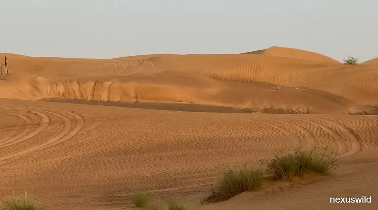
The site's location in the Mundafan region of the Empty Quarter is important. Today the Empty Quarter is associated with arid desert conditions. The evidence of a lake covering about 340 square kilometers shows how dramatically environments can shift over time.
The animal remains demonstrate that the lake supported species that could not survive in the current landscape. The tools show that humans were present and active around the lake. The residues show that they processed animals and plants and may have used poison in hunting systems. Together, these findings connect climate, environment and behavior.
The study does not answer every question about early human movement into Arabia. The Science abstract notes that the Saharo-Arabian archaeological record remains sparse. One rich site cannot fill that entire gap. It can, however, show what one lakeside world looked like and what people did there.
The co-leads and their colleagues present the site as a rare, richly detailed view of life in a landscape unlike Arabia today. That description is supported by the range of evidence: more than 500 specimens, more than 130 locations, 5,511 tools, lake modeling and residue analysis.
For readers, the lasting point is straightforward. About 125,000 years ago, the area now covered by desert held a large lake, hippos and other animals, grassland vegetation and people making prepared stone tools. The study turns that broad idea into a detailed archaeological and environmental record.
Nexuswild welcomes factual corrections. Email contact@nexuswild.com with evidence and the article URL.