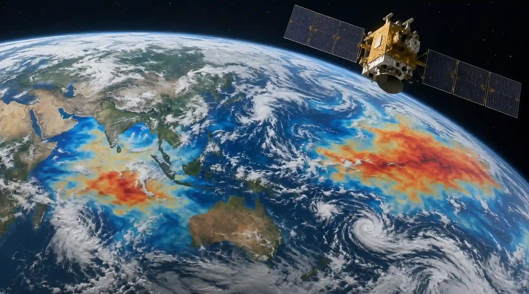

India's EOS-06 satellite, also known as Oceansat-3, has captured a visible signature of the strengthening 2026 El Niño - though the change ISRO's scientists actually measured was in the equatorial Pacific Ocean, not the Indian Ocean itself. That distinction matters, because it shapes how the finding should be read: ISRO's satellite detected the Pacific-side driver of El Niño directly; what happens in the Indian Ocean as a result is being tracked separately, by India's ocean-forecasting agency, using different instruments and models.
According to a press statement carried by IDRW and corroborated by Business Today and NewsBytes, ISRO's National Remote Sensing Centre (NRSC) in Hyderabad analysed chlorophyll-a measurements from the Ocean Colour Monitor-3 (OCM-3) sensor, combined with ocean-surface wind data from the EOS-06 scatterometer, across the tropical Pacific for April, May and June of 2023 through 2026. Comparing June 2024 and June 2025 - both neutral ENSO years - against June 2026, NRSC found a marked decline in surface chlorophyll-a, the pigment phytoplankton use for photosynthesis and a standard proxy for marine productivity. The decline coincided with a reversal of the prevailing surface winds in the region, from the easterlies that dominate under normal conditions to westerlies, a textbook signature of a developing El Niño.
Why Chlorophyll Fell
The mechanism is straightforward oceanography. Under normal, non–El Niño conditions, easterly trade winds push surface water westward across the equatorial Pacific, drawing cooler, nutrient-rich water up from depth in its place - a process called upwelling. That nutrient supply feeds phytoplankton blooms, which show up as elevated chlorophyll-a in satellite ocean-colour data. When El Niño develops, those trade winds weaken and can reverse, and the thermocline - the boundary between warm surface water and colder water below - deepens. That combination suppresses upwelling, starves surface waters of nutrients, and depresses phytoplankton growth. ISRO said the shrinking westward extent of the high-chlorophyll region between April and June 2026 reinforced the case that upwelling was weakening as El Niño developed. The agency described its findings as complementing, rather than duplicating, the World Meteorological Organization's parallel ENSO outlook.
A Pacific Measurement With Indian Ocean Consequences
El Niño is defined by conditions in the tropical Pacific - specifically, sustained warming in the Niño 3.4 region that IMD and international agencies track using a three-month moving average of sea-surface temperature. According to IMD's June 2026 ENSO and Indian Ocean Dipole bulletin, reported by News Arena India, that index crossed the threshold for El Niño onset in June 2026, following a period of La Niña conditions that had persisted from August 2025 to February 2026. IMD's bulletin noted that both oceanic and atmospheric indicators had responded, confirming a coupled El Niño phase was underway.
The link to the Indian Ocean runs through the atmosphere rather than direct ocean-to-ocean contact. El Niño alters the Walker circulation, the band of rising and sinking air that spans the tropical Pacific and Indian Oceans, which in turn changes wind patterns, cloud cover and heat transport over the Indian Ocean itself. India's Ocean Information Services agency, INCOIS, issued a special El Niño bulletin on June 22, 2026, stating that the ongoing event was expected to remain the dominant ENSO phase through February 2027 with 70–90% probability, and that it was likely to influence Indian Ocean conditions through warmer sea-surface temperatures, greater marine heatwave risk and changes to marine ecosystem productivity - effects INCOIS described as playing out with a lag of roughly four to six months behind the Pacific signal.
What This Means for the Monsoon
El Niño's best-known effect on India is a tendency to weaken the southwest monsoon, though the relationship is not mechanical and other factors intervene. IMD's own monsoon models this year pointed to below-normal rainfall for the June–September season, with the agency's June bulletin - cited by WION - projecting seasonal rainfall around 90% of the Long Period Average and giving an 84% probability of below-normal or lower totals nationally, according to PIB figures referenced in subsequent reporting.
Whether El Niño's drying effect is reinforced or partly offset depends heavily on the Indian Ocean Dipole (IOD), a separate east-west sea-surface-temperature contrast within the Indian Ocean itself. A positive IOD, in which the western Indian Ocean runs warmer than the east, has historically helped counteract El Niño's suppression of monsoon rainfall in some past years; a negative IOD tends to aggravate it. Through the 2026 monsoon season, the IOD stayed close to neutral - the Australian Bureau of Meteorology recorded an index of roughly -0.02°C to -0.13°C in mid-to-late June - meaning it offered little counterbalancing effect either way, according to IMD and Australian monitoring cited in multiple reports.
Fisheries and Coastal Risk
INCOIS and India's Central Marine Fisheries Research Institute (CMFRI) have both flagged concerns for marine life along India's coasts as the event progresses. CMFRI director Grinson George told Deccan Herald that intensifying warming, expected to peak during October–December 2026 and reach the northern Indian Ocean by April–May 2027, could reduce oil sardine populations by 20% to 70%, depending on the extent of heat transfer - a projection George described as dependent on how much warming actually materializes, not a fixed outcome. INCOIS's bulletins have separately warned of elevated marine heatwave risk, coral bleaching potential in reef systems such as Lakshadweep and the Gulf of Mannar, and a heightened chance of coastal erosion, particularly along India's east coast, while noting that conditions along the west coast could, in some respects, prove more favourable for maritime operations.
How the Indian Ocean Differs Between El Niño and La Niña Years
In general terms, El Niño years tend to coincide with a weakened monsoon, warmer-than-average sea-surface temperatures developing across the northern Indian Ocean with a lag, and elevated marine heatwave risk, while La Niña years typically favour a stronger monsoon and cooler regional conditions - though the IOD's own phase can modify both patterns substantially in any given year. The 2026 event followed exactly this kind of transition: ENSO moved from neutral in mid-2025, into La Niña from August 2025 through February 2026, back to neutral in spring 2026, and then into El Niño by June, according to IMD's tracking cited by WION.
Caveats and Open Questions
It's worth being precise about what has actually been confirmed. ISRO's satellite observation is a documented change in ocean colour and surface winds in the Pacific - a real, measured signal, not a model projection. What follows from it for the Indian Ocean - the monsoon rainfall outcome, the scale of any marine heatwave, the eventual effect on fish stocks - remains forecast and expert assessment rather than direct satellite measurement, and each of the specialist agencies involved has attached explicit uncertainty ranges to those projections rather than firm figures.
INCOIS's own bulletins carry a disclaimer that their conclusions rest on numerical models and are to be treated cautiously; CMFRI's sardine estimate is presented as a wide range contingent on how much heat actually reaches the northern Indian Ocean. Nor does a single El Niño event, however strong, establish a long-term warming trend on its own - ENSO is a natural, cyclical mode of variability that has recurred for as long as it has been observed, and this event's Pacific and Indian Ocean effects will need to be assessed against the historical range of past El Niño years, not treated as a standalone signal of accelerating climate change.
For forecasters, the value of combining ISRO's direct Pacific observations with INCOIS's Indian Ocean bulletins and IMD's monsoon models is that each source tracks a different part of the same coupled system - giving a fuller, if still probabilistic, picture of how this El Niño may play out across the region over the coming months.
Further reading and useful links
Reader questions
Frequently asked questions
What did ISRO's EOS-06 satellite detect regarding El Niño?
The satellite measured a significant decline in surface chlorophyll-a (a proxy for marine productivity) combined with a reversal of surface winds in the equatorial Pacific, which are key signatures of a developing El Niño.
How does El Niño in the Pacific affect the Indian Ocean?
El Niño alters the atmospheric Walker circulation, changing wind patterns and heat transport over the Indian Ocean. This can lead to warmer sea-surface temperatures, a higher risk of marine heatwaves, and a weakened southwest monsoon.
Will El Niño affect India's monsoon rainfall in 2026?
Yes, historically El Niño suppresses monsoon rainfall. The IMD projected seasonal rainfall around 90% of the Long Period Average for 2026, pointing to a high probability of below-normal totals.
Nexuswild welcomes factual corrections. Email [email protected] with evidence and the article URL.